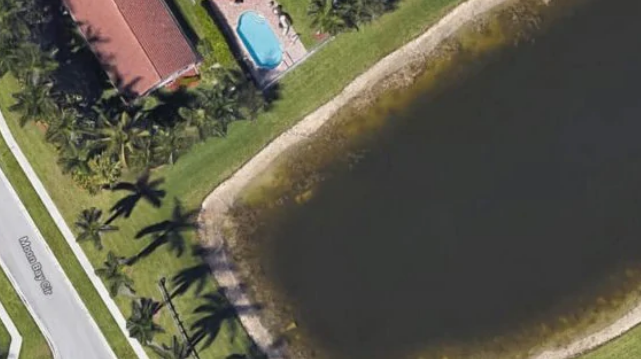
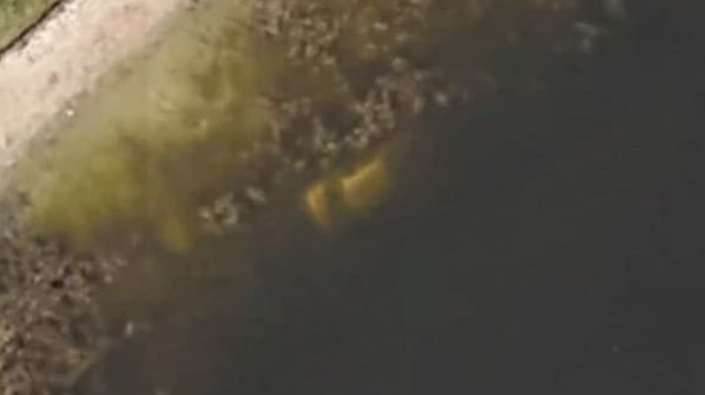
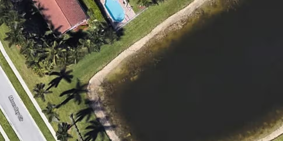
 Thanks to the keen eye of a former Moon Bay resident, and to Google Earth images, a 22-year cold case has been solved. Picture: Google Maps
An eagle eyed man made the accidental discovery.
A man’s accidental discovery while browsing Google Earth images has led police to a crime scene, solving a 22-year cold case.
According to reports from the BBC the man is a former resident of Moon Bay, Wellington, Florida.
The man was conducting a google search of his old neighborhood on August 28 when he made the discovery.
He spotted a car seemingly submerged in a lake in one of the Google Earth satellite images.
After authorities were notified the remains of Florida man William Moldt, who went missing in 1997 at age 40, were found inside the submerged vehicle.
 Image: Google Maps
 Drone clarification.
A spokesperson for the Palm Beach County Sheriff’s Office, Teri Barbera, told AP reporters the former resident of the Grand Isles neighbourhood wasn’t entirely sure of Google Earth’s accuracy.
So the man called a current resident of the area and had them fly a drone over the lake for a clearer image.
After becoming convinced that a car was in fact in the water, the man then called the sheriff’s office.
Deputies then arrived to find the white sedan’s exterior “heavily calcified” and Mr Moldt’s remains inside.
According to a report by the Charley Project — an online database of cold cases in the US — the “vehicle had plainly (been) visible on a Google Earth satellite photo of the area since 2007, but apparently no one had noticed it until 2019”.


